
East West Maps
Wicklow East Map
Wicklow East Map
Couldn't load pickup availability
Definitive detailed map from our 25Series of Wicklow at 1:25,000 scale covering from Bray to Wicklow Town and Roundwood to the Irish Sea.
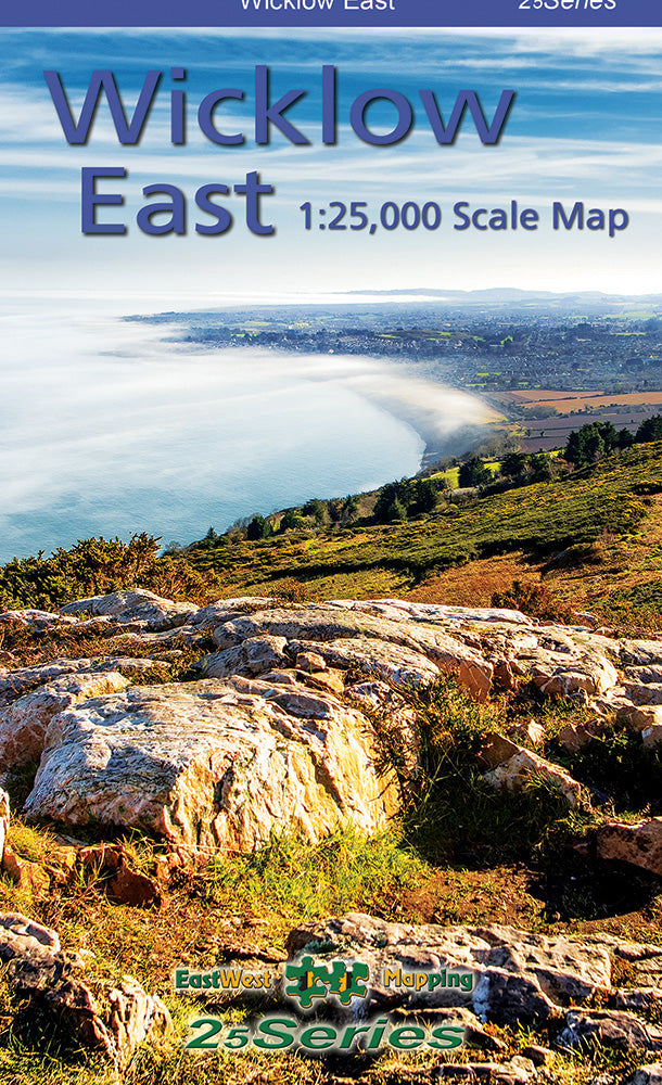
Definitive detailed map from our 25Series of Wicklow at 1:25,000 scale covering from Bray to Wicklow Town and Roundwood to the Irish Sea. Covers the Irish Sea coast, Devils Glen, Sugarloaf, Roundwood Reservoir, local waymarked trails marked. First published in 2011, this is a completely new and detailed map replacing the previous 1:30,000 scale maps. We have conducted considerable research into local sites & placenames and much information is recorded on this map. Printed on good quality Progeo 90gsm map paper. Also available fully encapsulated for durability and weatherproofing. The map sheet measures 1125mm x 820mm, covering 550 sq kilometres and is folded down to 125mm x 205mm.
1:25,000 Scale : 1 centimetre on the map = 250 metres on the ground. Contour Interval : 5 metres.
Published April 2021. This 1:25,000 scale map replaces the 1:30,000 map published in 2011 & 2019.
Share