
East West Maps
The Wicklow Way Map Guide
The Wicklow Way Map Guide
Couldn't load pickup availability
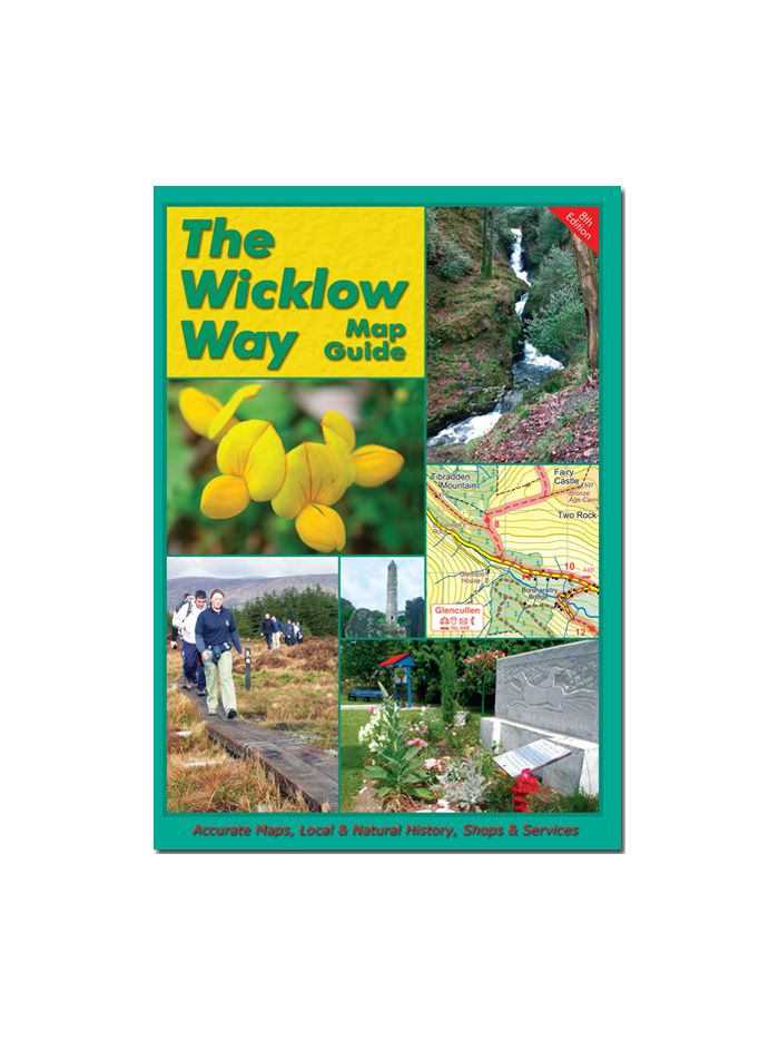
The Wicklow Way Map Guide is now on its ninth edition and has been updated in 2011. Cartographer, Barry Dalby, lives close to the end of the Wicklow Way outside Clonegal. His attention to place-names provides extra detail on the maps within the book.
The book describes the Wicklow Way travelling from North to South. It is divided into eleven stages with each page of text accompanied with an adjoining map. Brief written descriptions of the directions are followed by a series of interesting snippets of information on various landmarks.
Two extra sections in the book cover the link sections for those tackling the E8. This walking trail spans right across Europe from the Black Sea to the Atlantic Ocean. The book provides guidance across unmarked sections from Dublin Port to Marlay Park and from Clonegal to the start of the South Leinster Way in Kildavin.
Share