

OSI
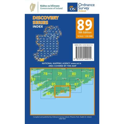
OSI 89 Cork
OSI 89 Cork
Couldn't load pickup availability
The N71 National Secondary Road is the primary option for travel on this map. Most of the area is covered by regional and third class roads.
The main townlands on this map include Timoleague, Clonakilty, Ross Carbery, Skibbereen and Drimoleague.
This map features the southern coastline of Ireland. The map owes much of its features to the presence of the Atlantic Ocean such as Toehead Bay, Castle Haven, Glandore Harbour, Rosscarbery Bay, Dirk Bay, Clonakilty Bay, Dunworly Bay, The Long Strand, Little Island Strand and Creggane Strand.
Toe Head and Galley Head are noticeable points on this map, jutting out into the ocean.
Inchydoney Island is connected to the mainland by two causeways and has a coveted beach that is split in half by the headland.
Mullaghmesha Mountain is located to the Northwest corner of this map.
Prominent rivers on this map include the River Ilen, Brewery River, Argideen River and the Owenkeagh River.
There are plenty of campsites to be found near the coast on this map, encouraging visitors to the area to stay and enjoy the magnificent scenery.
There are plenty of waymarked walks and cycle routes located around this map. These include the Skibbereen Cycle Loops, Sheep’s Head Way, Moyny Bridge Walk, Drimoleague Heritage Trail, Deelish Casades Walk, Glanaclougha Loop, Shronacarton Walk and the Carrigfadda Hill Walk.
This map is home to the Birthplace of Michael Collins.
Share