
East West Maps
Brandon Hill
Brandon Hill
Couldn't load pickup availability
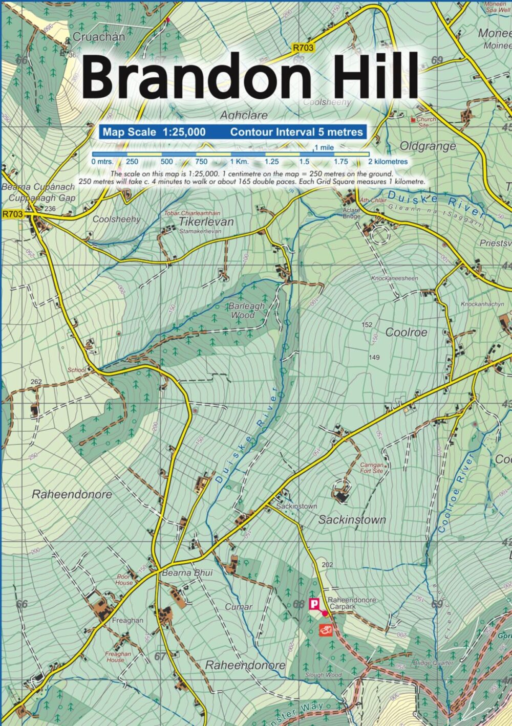
Detailed map at 1:25,000 scale covering Brandon Hill, near Graignamanagh in Co.Kilkenny. This area is adjacent to our current Blackstairs & Mount Leinster map but doesn’t fit on that sheet. We’ve published this area to meet local demand. Produced to our 25Series standard, this general topographic map has a 5 metre contour interval for fine navigation. Signposted walking trails are depicted. Printed on standard heavy weight paper which is not waterproof and must be protected in a map case or hand laminated. The map sheet is A3, covering 78 sq kilometres and folds down to A5 size. Surveyed & published 2023-2025.
Note there is no key to map symbols on this map, please refer to the published Blackstairs & Mount Leinster map.
Share