East West Maps
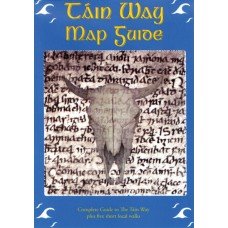
The Tain Way Map Guide
The Tain Way Map Guide
Couldn't load pickup availability
The Táin Way is a circular route that loops around Carlingford Mountain (590m) and its western outliers, touching the top of one at Clermont, which has a Bronze Age cairn.
The Cooley peninsula is a mountainous finger of land that extends 19 km from County Louth into the Irish Sea between Carlingford Lough and Dundalk Bay. It is a place steeped in legend, and the site of the epic saga known as The Cattle Raid of Cooley, which tells of a battle between Queen Meabh of Connacht and the champion Cú Chulainn over the Brown Bull of Cooley, an animal of great size and reputation. Apart from the sagas, plenty of evidence survives of the Cooley’s rich historical past in its passage graves, portal tombs and the well-preserved medieval town of Carlingford, where John, the Magna Carta king, had a great castle built. Like all places off the beaten track, the Cooley has an aura of agelessness and has become a popular place to escape to, however briefly, and overnight accommodation options are plentiful. The Táin Way is a circular route that loops around Carlingford Mountain (590m) and its western outliers, touching the top of one at Clermont, which has a Bronze Age cairn. Terrain consists mainly of quiet roads, forestry tracks, and open mountain paths, and from the high points the views are spectacularly good, northwards across Carlingford Lough to the Mournes, and southwards down the east coast. Total aggregate ascent is about 1000m, including a few long ascents.
Share


