Collection: OSI Maps
Ordnance Survey Ireland Discovery Series Maps
OSI arose from the original Ordnance Survey of Ireland, which was founded in 1824 as part of the British army. OSI was established to survey the entire island of Ireland as part of land valuations for taxation purposes. OSI now produces some of Ireland's most detailed maps to date.
Check out the complete Ordnance Survey Ireland Discovery Series Map, Irish maps, Hiking Maps at Basecamp.
-
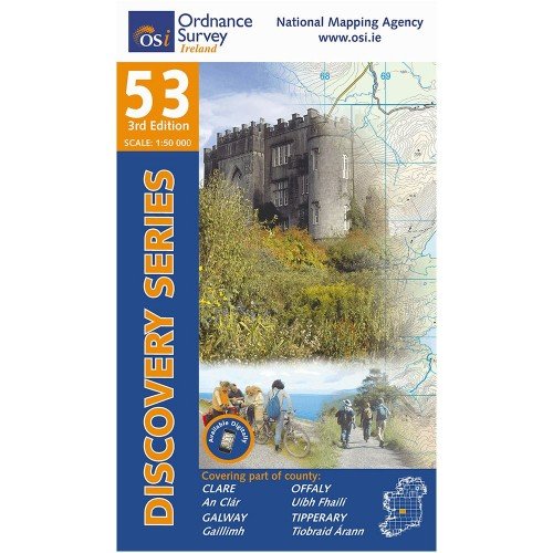
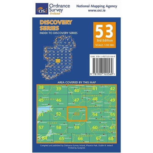
OSI 53 Clare Galway
Vendor:OSIRegular price €9.95 EURRegular price -
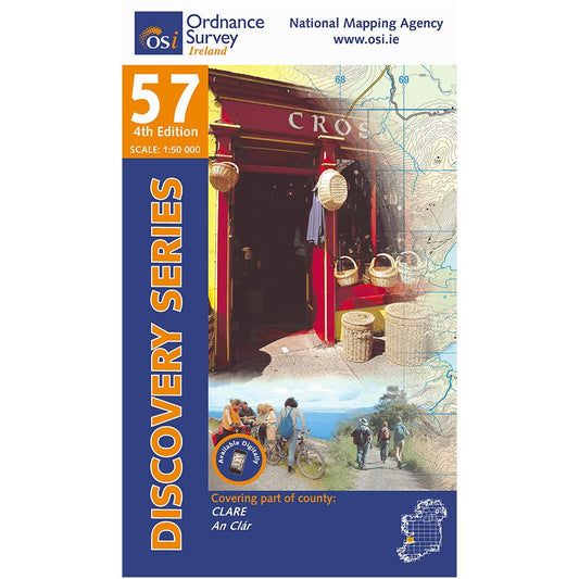
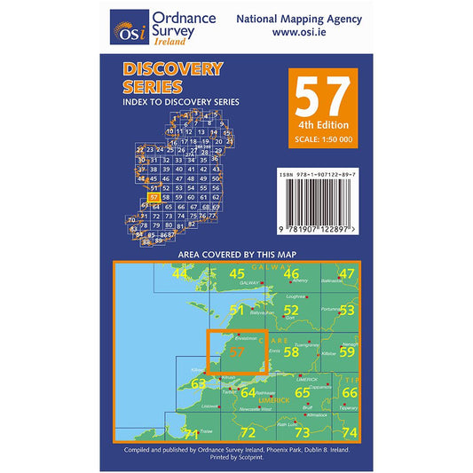
OSI 57 Clare
Vendor:OSIRegular price €9.95 EURRegular price -
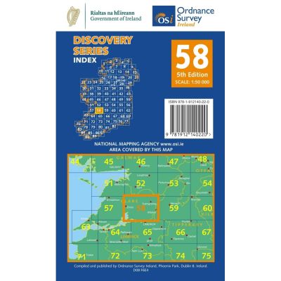
OSI 58 Clare Offaly
Vendor:OSIRegular price €9.95 EURRegular price -
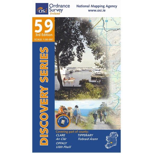
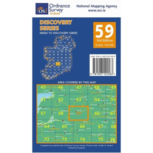
OSI 59 Clare Offaly
Vendor:OSIRegular price €9.95 EURRegular price -
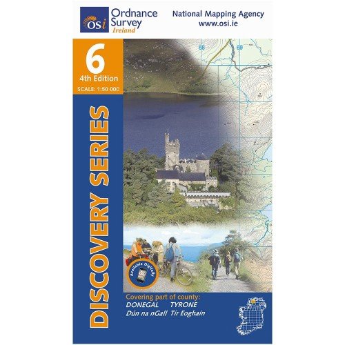
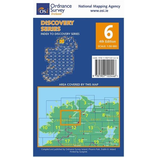
OSI 6 Tyrone
Vendor:OSIRegular price €9.95 EURRegular price -
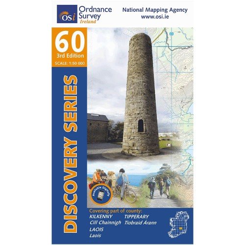
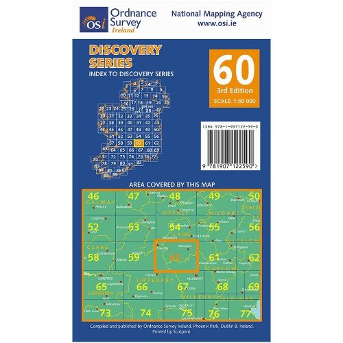
OSI 60 Kilkenny Laois
Vendor:OSIRegular price €9.95 EURRegular price -
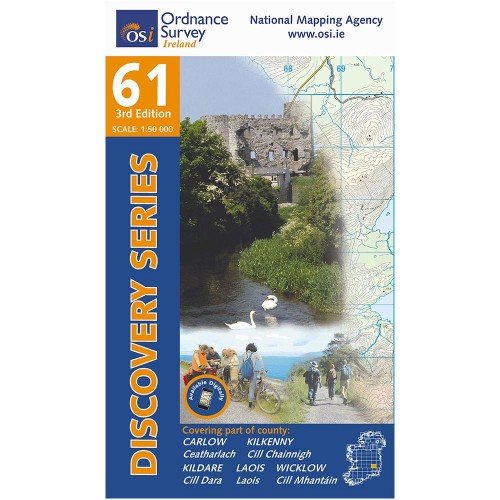
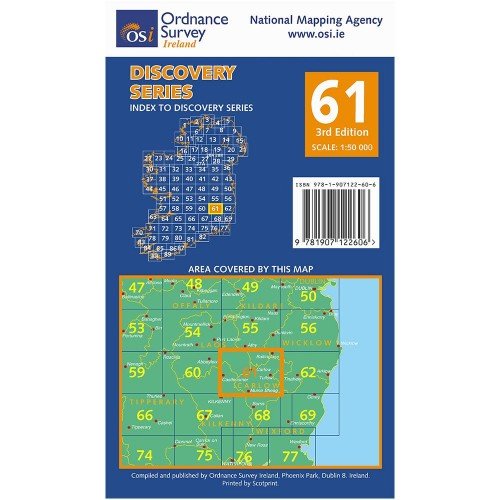
OSI 61 Carlow Kildare
Vendor:OSIRegular price €9.95 EURRegular price -
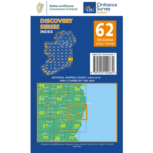
OSI 62 Carlow - Wexford - Wicklow
Vendor:OSIRegular price €9.95 EURRegular price -
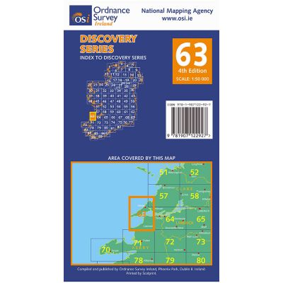
OSI 63 Clare Kerry
Vendor:OSIRegular price €9.95 EURRegular price -
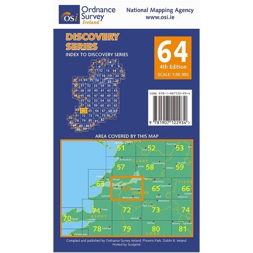
OSI 64 Clare Kerry
Vendor:OSIRegular price €9.95 EURRegular price -
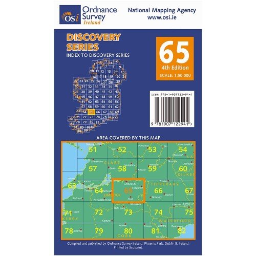
OSI 65 Limerick
Vendor:OSIRegular price €9.95 EURRegular price -
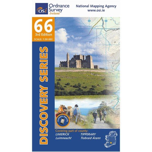
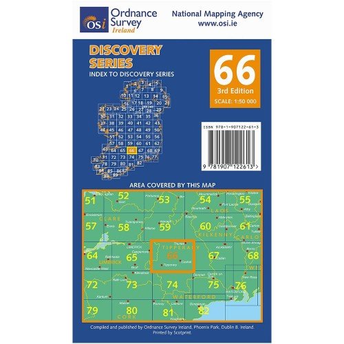
OSI 66 Tipperary Limerick
Vendor:OSIRegular price €9.95 EURRegular price -
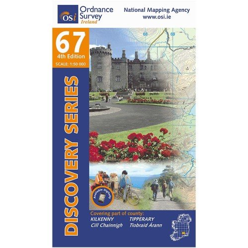
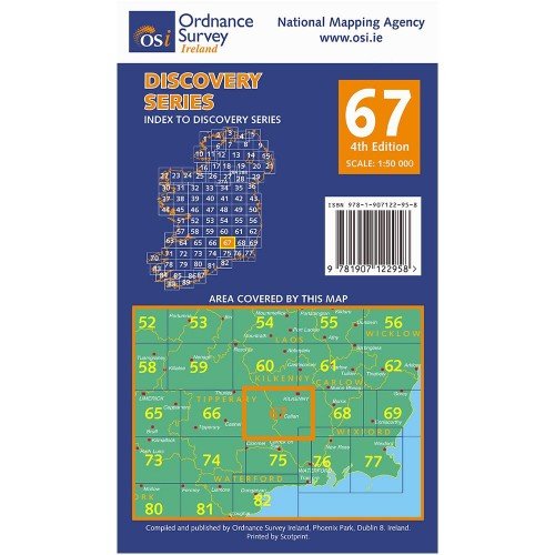
OSI 67 Kilkenny Tipperary
Vendor:OSIRegular price €9.95 EURRegular price -
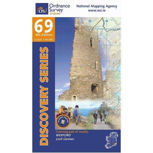
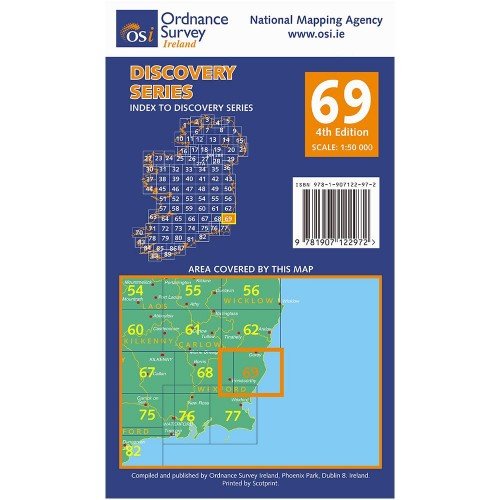
OSI 69 Wexford
Vendor:OSIRegular price €9.95 EURRegular price -
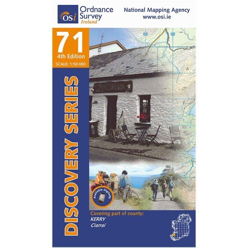
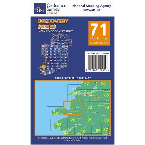
OSI 71 Kerry
Vendor:OSIRegular price €9.95 EURRegular price -
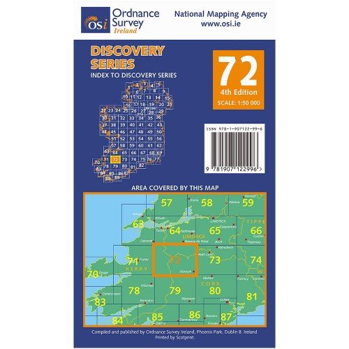
OSI 72 Kerry Cork Limerick
Vendor:OSIRegular price €9.95 EURRegular price -
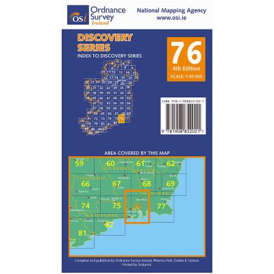
OSI 76 Carlow Kilkenny Waterford
Vendor:OSIRegular price €9.95 EURRegular price -
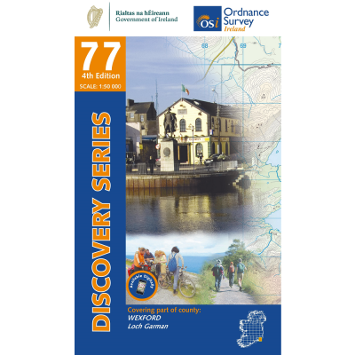
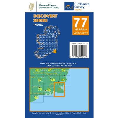
OSI 77 Wexford
Vendor:OSIRegular price €9.95 EURRegular price -
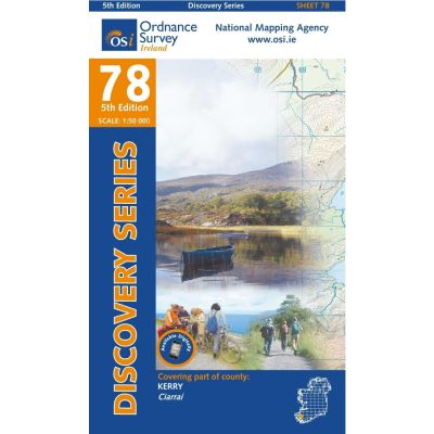
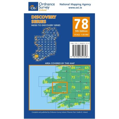
OSI 78 Kerry
Vendor:OSIRegular price €9.95 EURRegular price -
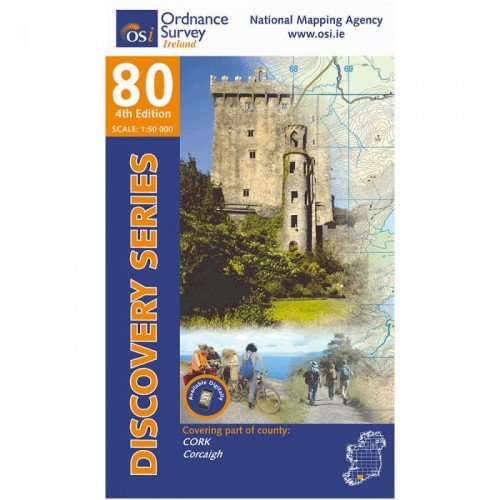
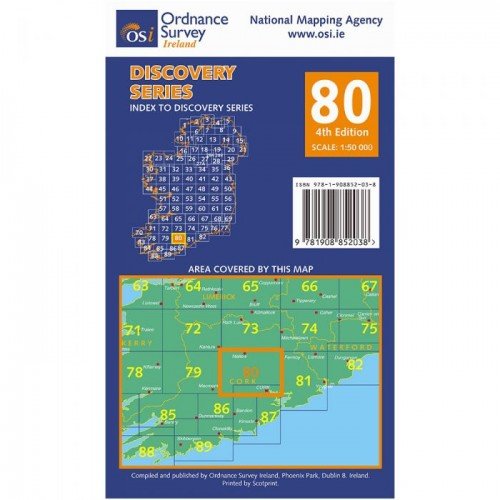
OSI 80 Cork
Vendor:OSIRegular price €9.95 EURRegular price -
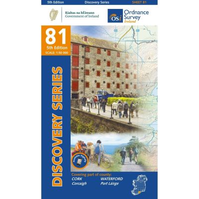
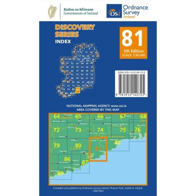
OSI 81 Cork Waterford
Vendor:OSIRegular price €9.95 EURRegular price -
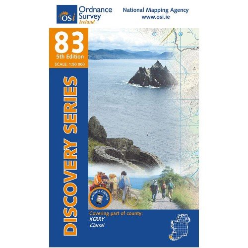
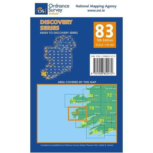
OSI 83 Kerry
Vendor:OSIRegular price €9.95 EURRegular price -
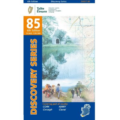
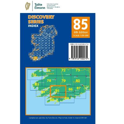
OSI 85 Cork - Kerry
Vendor:OSIRegular price €9.95 EURRegular price -
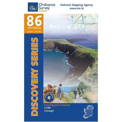
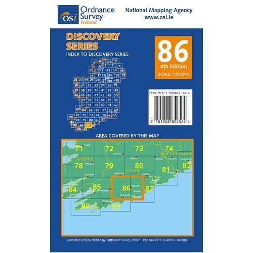
OSI 86 Cork
Vendor:OSIRegular price €9.95 EURRegular price -
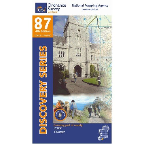
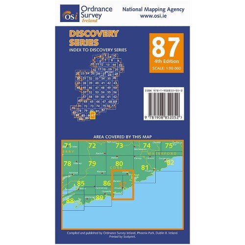
OSI 87 Cork
Vendor:OSIRegular price €9.95 EURRegular price -
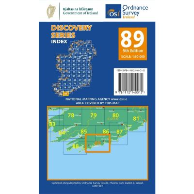
OSI 89 Cork
Vendor:OSIRegular price €9.95 EURRegular price -
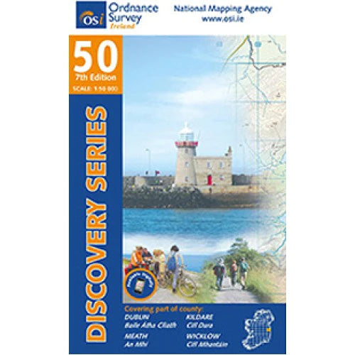
Waterproof Map OSI 50
Vendor:OSIRegular price €29.95 EURRegular price -
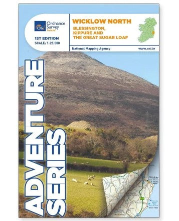
Wicklow North ADV Series
Vendor:OSIRegular price €17.95 EURRegular price -
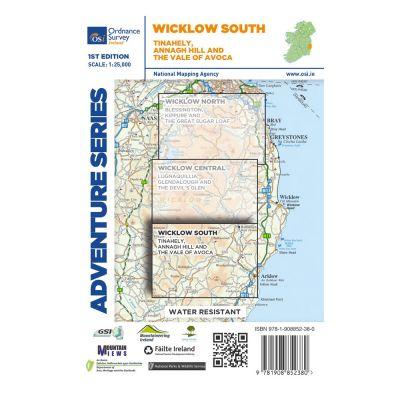
Wicklow South ADV Series
Vendor:OSIRegular price €15.50 EURRegular price

